 Download pdf Map 6 (150 Kb)
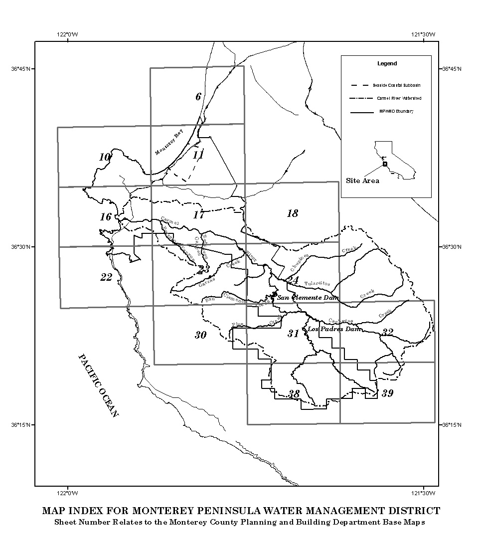
The image below is a map index depicting the Monterey Peninsula. To view a region of interest, left mouse click on the grey tile that corresponds to the area you wish to view.
The maps were created January 2004, using the Carmel River Watershed boundary, Monterey Peninsula Water Management District boundary, Monterey County Parcels, Carmel River, Township and Range boundaries, City Limits, Carmel River Alluvial Aquifer boundary, and regional roads and highways.